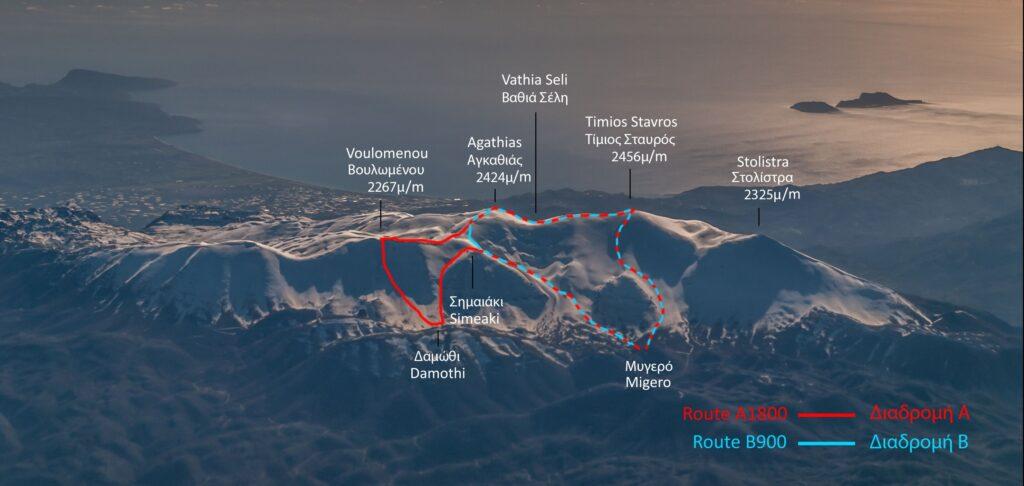
Pierra Creta is a ski mountaineering race consisting of two routes, the A1800 with an indicative altitude difference of 1800m and the B900 with an indicative altitude difference of around 900m. In each event the marking team selects the routes based on the altitude differences adjusted with the snow conditions of each year, always with the safety of the athletes in mind. To give you an idea of the mountain and the possible routes, the picture below shows the northern slope of mount Psiloritis and the routes that were marked in Pierra Creta 2017, starting as always from Mygero.
Our sponsor, Anavasi is a group of people who love mountains, nature and sharing their favorite routes. Specializing in cartography and hiking, they have over 25 years’ experience producing maps and guides, both print and digital, signposts with maps and developing trail networks. Maps, hiking, trails, mountains and contact with nature define their values. They have created a mobile app where they have made available free Pierra Creta routes, which we intend to use during the race briefing to showcase those we will be racing this year.
The digital maps of the application are made entirely by GIS (specialized cartography software). The relief is created from satellite images with a resolution of 4 meters. They have a comprehensive data base for all of Greece and they invest in field work, documenting the trails with field research. Anavasi recommends routes that they have hiked themelves, while they will help us showcase our own. The app is available on Android and iPhone, the maps are downloaded to your device (no internet is needed) and can be downloaded from the links below.
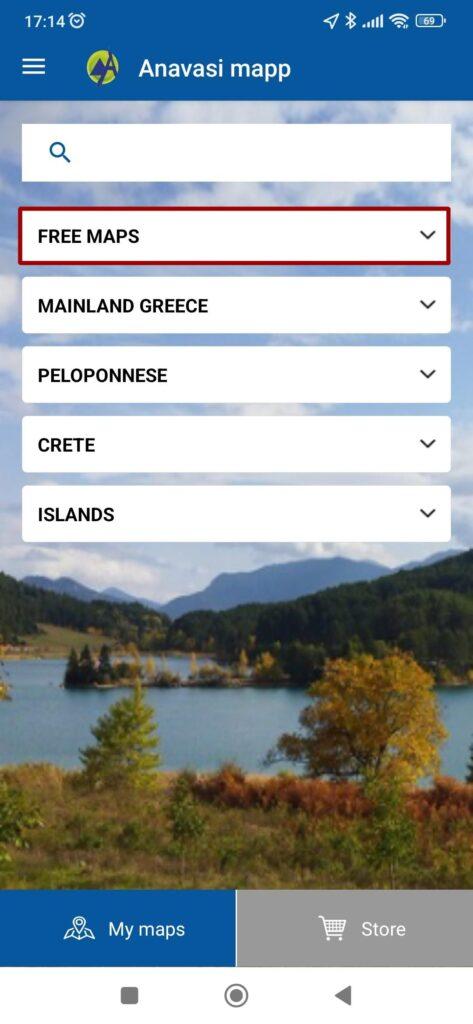
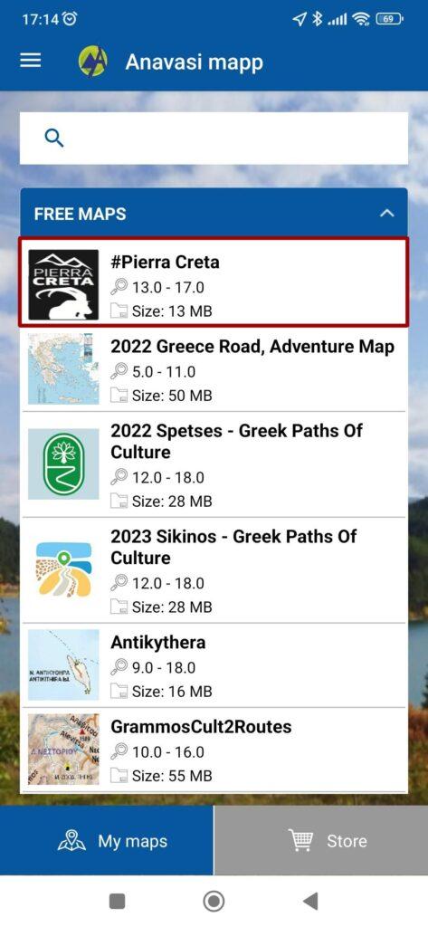
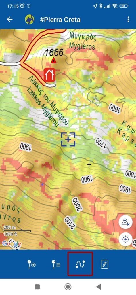
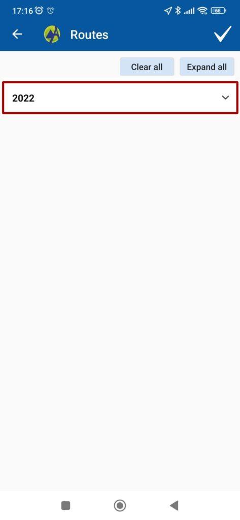
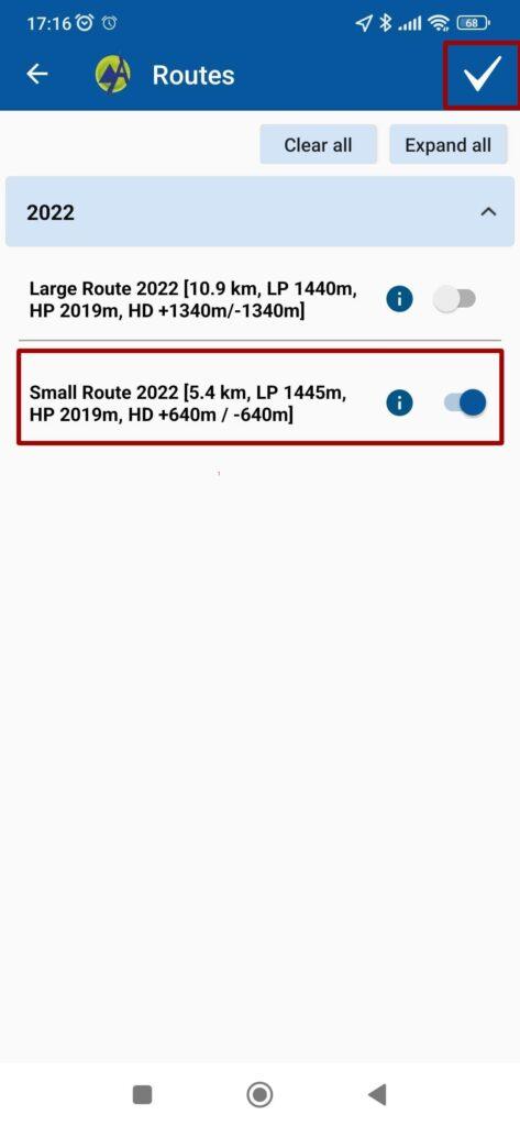
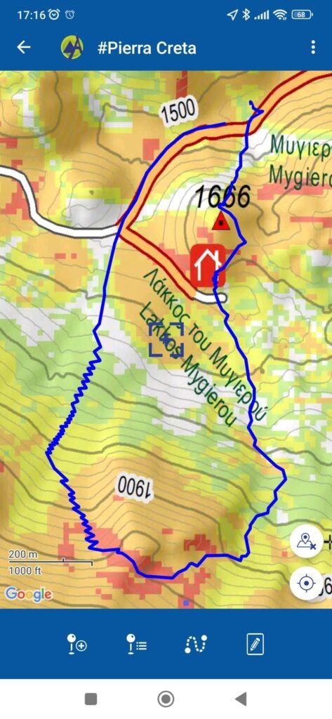
Below are the steps we follow to see the Pierra Creta 2022 route B900 as an example. Opening the application, we select each time the option inside the red box, in order to proceed to the next screen. Please install the application, because we will use it in the athletes’ update.
